The Dept. of Civil Engineering organized a four-day national e-FDP on ‘Application of Remote Sensing and GIS in Civil Engineering’ from 7 to 10 July 2020.
A geographic information system (GIS) is a computer-based tool for mapping and analyzing feature events on earth. GIS technology integrates a common database of operations, such as query and statistical analysis, with maps.
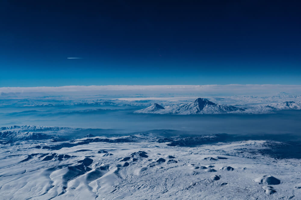
Remote sensing is the art and science of making measurements of the earth using sensors on airplanes or satellites. Different fields of Civil Engineering uses remote sensing and GIS including water resources, environment, surveying, groundwater management, etc.
Faculty, executives, engineers, and researchers from institutions, industry, consultancy firms, and government organizations participated. This Faculty Development Program (FDP) will be helpful for all the participants to widen their knowledge and explore a new area of research.
Dr. Subashisa Dutta, Professor, IIT Guwahati, Dr. K.C. Tiwari, Professor, Delhi Technological University, New Delhi, Dr. Prashanth J, Assistant Professor, NIT Silchar, and Dr. Ratnakar Swain, Assistant Professor, NIT Rourkela, were the resource persons for the program.